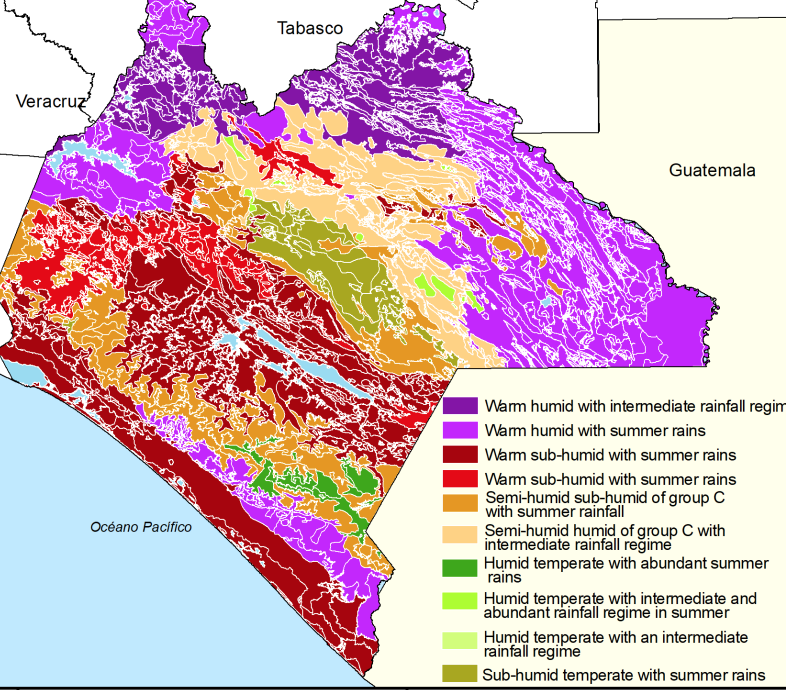
The NFS is pleased to present a proposed methodology for setting risk based reference levels using time series of land use change and associated geospatial attributes.
The methodology was developed by researchers at El Colegio de la Frontera Sur, in Mexico, with financial support from UK PACT, in a project managed by Ecometrica.
The method has been subjected to expert review and is now open for public comments. Please access the draft methodology here:
Please send technical comments to feedback

